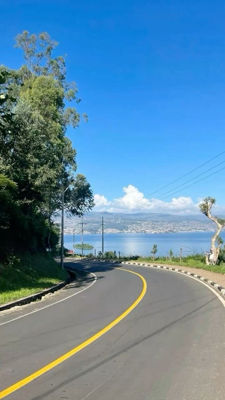
The Congo Nile Trail is one of Rwanda's most rewarding road trips, and a fantastic option if you want to see the country beyond the usual gorilla-trekking route. Stretching along the shores of Lake Kivu from Rubavu (Gisenyi) in the north to Rusizi in the south, the trail winds through tea and coffee plantations, terraced hillsides, fishing villages, and forested highlands, with the lake's islets and bays never far from view.
While the Congo Nile Trail is best known as a bikepacking and hiking route, driving it ideally in a 4×4 is the fastest way to experience its scenery, and a great choice if you want the adventure without the multi-day physical grind. This guide walks you through what to expect on the road, how long to budget, and how to prepare.
Congo Nile Trail Route Overview
The Congo Nile Trail runs roughly 227 kilometers, tracing the Lake Kivu shoreline through the western province. It starts at Rubavu (Gisenyi), a lakeside town known for its sandy beaches, and finishes in Rusizi district in the south, passing through Rutsiro, Karongi, and Nyamasheke districts along the way. The trail takes its name from the nearby watershed where the Congo and Nile river basins divide it isn't actually near either river, but the name has stuck since the route's launch in 2011 as part of Rwanda's push to diversify its tourism offering beyond gorilla trekking.
Along the way, you'll pass:
- Rubavu (Gisenyi): The trail's starting point, with beaches, hot springs, and a lively lakeside market.
- Kinunu and Rutsiro district: Coffee-growing country, with some working farms open to visitors.
- Karongi (Kibuye): A quiet lakeside town, popular for boat trips out to Napoleon Island, home to a colony of fruit bats.
- Nyamasheke: More tea and coffee estates, with sweeping views over Lake Kivu's bays and peninsulas.
- Rusizi and Nyungwe Forest National Park: The trail's southern end, close to Nyungwe's rainforest and chimpanzee tracking.
How Long Does It Take to Drive the Congo Nile Trail?
By vehicle, most travelers complete the Congo Nile Trail in 3 to 6 days, compared to around 5 days by mountain bike or 8 to 10 days on foot. Driving strips out the physical endurance element but still delivers the same landscapes, village encounters, and lakeside stops just at a faster pace. If you want a shorter version, it's possible to drive key sections in 2 to 3 days, though you'll trade off some of the smaller villages and detours along the way.
Because much of the trail runs at a maximum of around 25 km/h in places due to eroded, rough surfaces, don't judge your schedule by distance alone; plan your days around stages and stopping points rather than kilometers per hour.
Road Conditions on the Congo Nile Trail
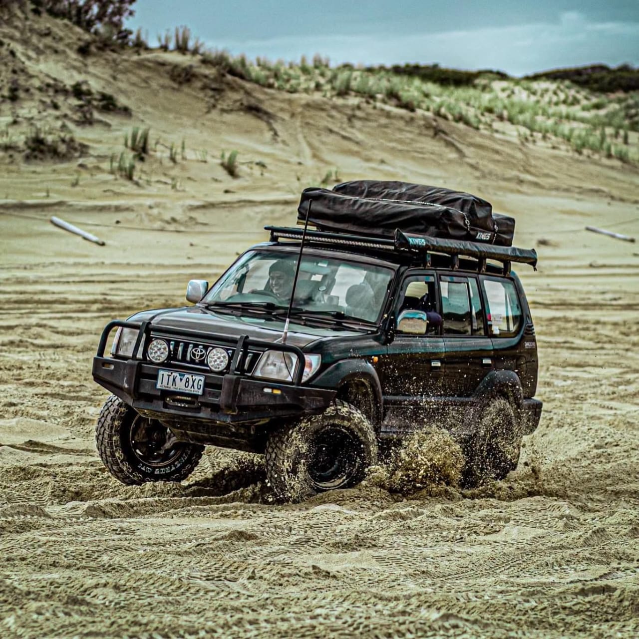
This is the most important thing to understand before you go: the Congo Nile Trail is not a paved highway. It's a mix of dirt roads, gravel tracks, and some lakeside single-track sections, and it's officially rated as a moderate-difficulty drive that's best handled with 4WD only. Some stretches are steep, narrow, and rough, and conditions deteriorate further after rain, so a proper 4×4 is the safest and often only practical choice.
The good news is that the drive from Kigali to Musanze and on to Gisenyi, which most travelers use to reach the trailhead, is decent tarmac the whole way, so the rough driving really only begins once you turn onto the trail itself south of Rubavu. From there, expect:
- Unpaved, eroded sections that require slow, careful driving
- Narrow stretches with limited passing room
- Steep gradients as the route climbs through the Congo-Nile watershed highlands
- River crossings and washouts that can worsen quickly during heavy rain
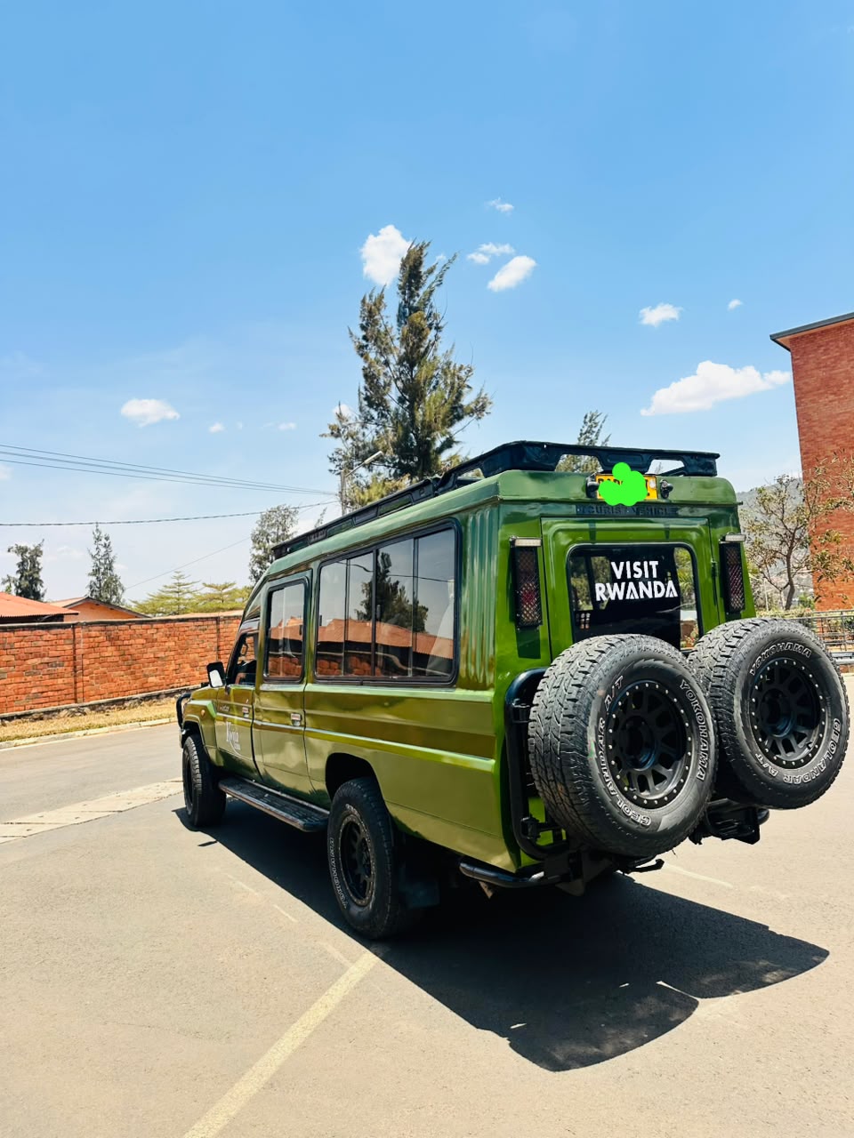
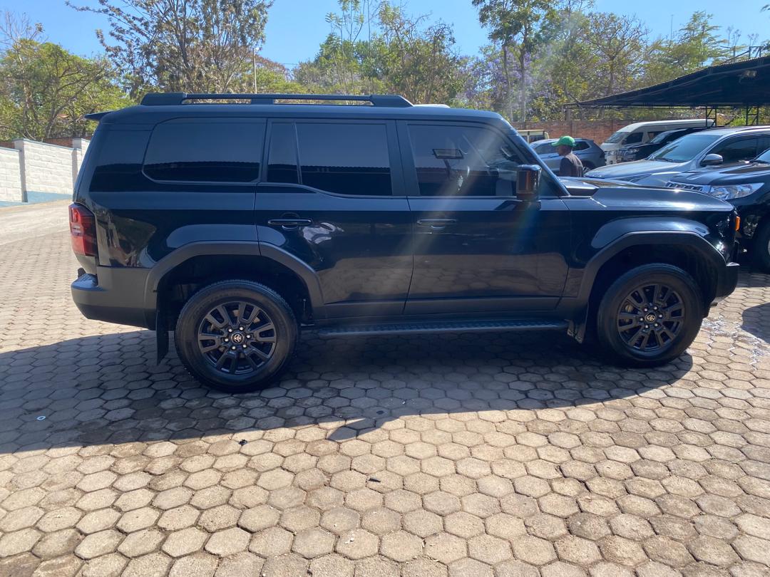
Given these conditions, this is not a route for a standard sedan or a rental without off-road capability. If you're arranging a rental for this trip, book a 4×4 specifically suited to rough terrain, not just a car marketed as an "SUV" for city use.
Best Time to Drive the Congo Nile Trail
Timing matters more here than on most Rwandan routes, because the trail's dirt and gravel surfaces are directly affected by rainfall.
- Best months: June to September, and December to February. These dry-season windows bring firmer road surfaces, clearer skies, and far less risk of getting stuck or facing washed-out sections.
- Avoid or plan carefully during: March to May and October to November. These wetter periods turn much of the trail muddy and can make some sections genuinely difficult to pass, even in a 4×4. If you do travel during this window, build in extra time, shorten your daily stages, and check local road conditions before setting out each day.
Practical Tips for Driving the Congo Nile Trail
Rent the right vehicle. A robust 4×4 with good ground clearance is non-negotiable for this route. This isn't the trip to save money on a smaller or lower-clearance vehicle.
Get a map before you set off. Free trail maps are available from Rwanda Development Board offices in Kigali, Musanze, and Gisenyi, and they're genuinely useful for confirming distances, stage points, and route changes that GPS apps don't always capture accurately.
Plan shorter daily stages, not long driving days. Given the terrain and the low average speeds in rough sections, it's better to plan realistic daily distances with time for stops at lakeside towns, coffee farms, and viewpoints, rather than trying to cover too much ground in a single day.
Carry supplies for the road. Long stretches of the trail are remote, so bring food and water in case you don't reach accommodation before dark. It's also worth packing anti-malarials, insect repellent, and a bed net, since malaria risk is higher in rural areas than in Kigali.
Fuel up whenever you can. Fuel stations, shops, and basic accommodation do exist along the route in the districts you pass through, but don't assume you'll find one exactly when you need it; top up the tank at every reasonable opportunity.
Consider a guide or tour operator for a smoother trip. Given the remoteness and the technical driving involved, many visitors choose to arrange the drive through a local tour operator, who can organize the right vehicle, a driver experienced with the route, and logistics like accommodation along the way. If you're driving independently, at minimum confirm directions locally at each major town, since the trail includes multiple forks and village junctions that are easy to miss.
Pack for changing conditions. Mornings and evenings can get noticeably cooler, especially at higher points like the Congo-Nile watershed around 2,630 meters altitude, so bring a sweater or light jacket alongside your usual daytime gear.
Is the Congo Nile Trail Worth Driving?
If you want a genuine adventure route through some of Rwanda's most scenic and least-visited scenery, tea plantations, terraced hills, fishing villages, and long views over Lake Kivu, the Congo Nile Trail delivers in a way that few other drives in the country can match. It asks more of you and your vehicle than Rwanda's main highways, but with the right preparation, a properly equipped 4×4, and a bit of flexibility around timing, it's one of the most memorable road trips you can take in East Africa.
Planning your Congo Nile Trail drive? Browse our 4×4 rental options built for Rwanda's rougher routes, or get in touch and we'll help you plan the right vehicle and itinerary for the trail.